Description
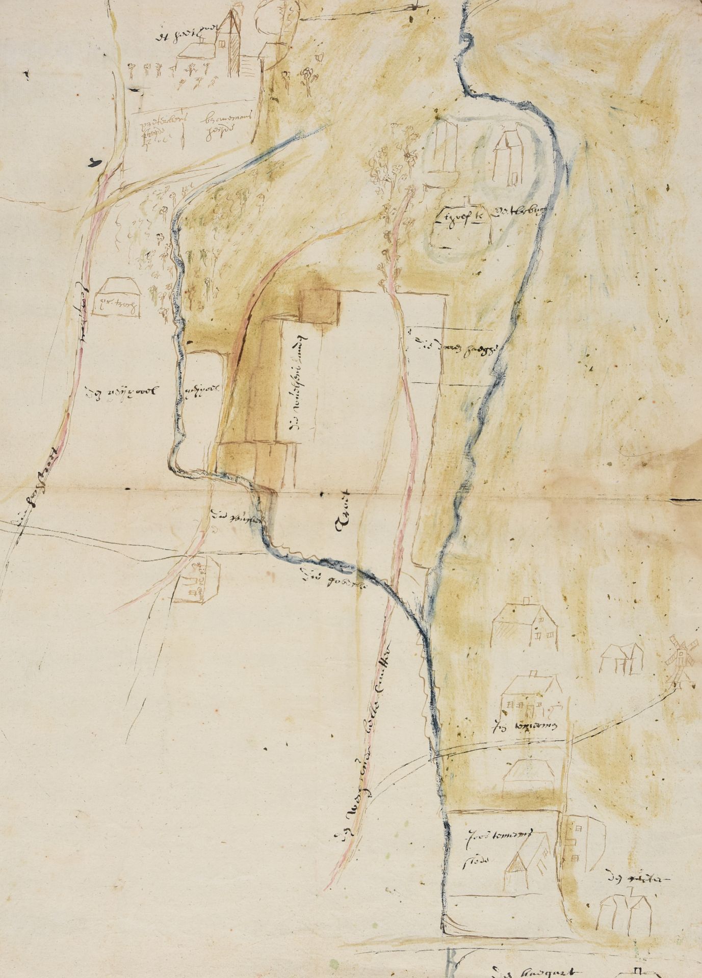
Figurative map. 16th-17th c Drawing, 33 x 46 cm, pen, brown ink and watercolour, laid paper (sm. tear on folding). Land survey for use in a lawsuit showing the Herbrugge moat at Serskamp, the road to Bellekouter, a mill and a church, presumably at Schellebelle. The topography is rendered with more detail compared to the Ferraris map, making it a rare testimony of the early 18th-c. situation.
532
Figurative map. 16th-17th c Drawing, 33 x 46 cm, pen, brown ink and watercolour, laid paper (sm. tear on folding). Land survey for use in a lawsuit showing the Herbrugge moat at Serskamp, the road to Bellekouter, a mill and a church, presumably at Schellebelle. The topography is rendered with more detail compared to the Ferraris map, making it a rare testimony of the early 18th-c. situation.