Description
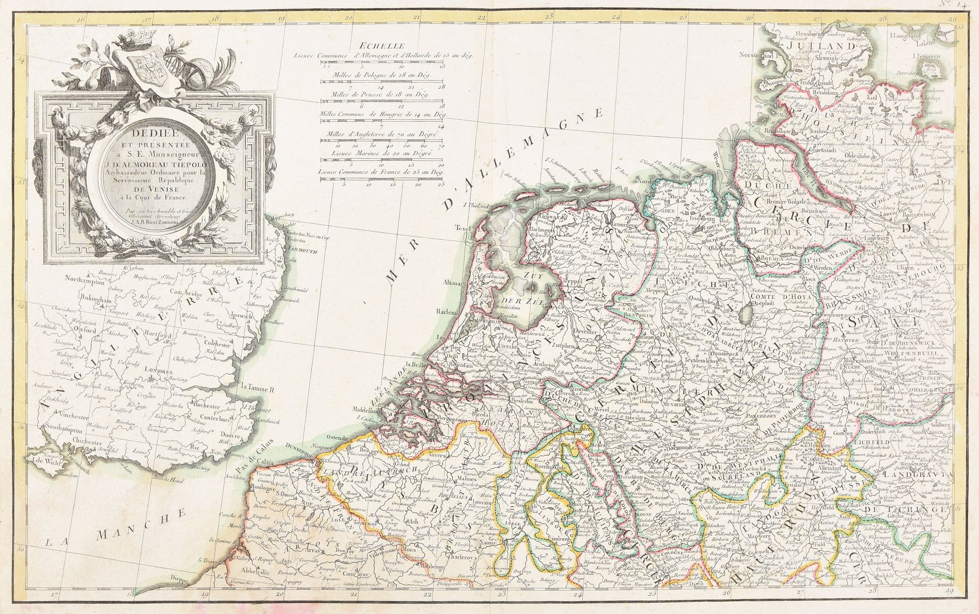
11 maps, 2 town plans and 2 town views. 16th-18th c Engr., various sizes and conditions, some hand-coloured. 1-9. 9 maps of the Southern and Northern Netherlands by P. vander Aa, H. Hondius, H. Jaillot, J. Janssonius, T.C. Lotter, P. Schenk, G. & L. Valk, N. Visscher and J.A.B. Zannoni. - 10-11. 2 regional maps by the heirs of Hondius. - 12-13. 2 town plans of Ghent and Brielle (Voorne) by F. Hogenberg. - 14-15. 2 town views of Antwerp and Ghent by L. Guicciardini and Th. Salmon.
1029
11 maps, 2 town plans and 2 town views. 16th-18th c Engr., various sizes and conditions, some hand-coloured. 1-9. 9 maps of the Southern and Northern Netherlands by P. vander Aa, H. Hondius, H. Jaillot, J. Janssonius, T.C. Lotter, P. Schenk, G. & L. Valk, N. Visscher and J.A.B. Zannoni. - 10-11. 2 regional maps by the heirs of Hondius. - 12-13. 2 town plans of Ghent and Brielle (Voorne) by F. Hogenberg. - 14-15. 2 town views of Antwerp and Ghent by L. Guicciardini and Th. Salmon.